
Easterhouse is one of the ‘big four’ post-war housing schemes built on the periphery of Glasgow to help house the burgeoning population of Glasgow and get folks out of crumbling tenements in areas like the Gorbals.
The origins of Easterhouse date far further back than the 1950s though, the first evidence of any occupation or conurbation dates back to Timothy Pont’s map in 1596 in which the village that would become Easterhouse was refered to as ‘Conflat’ - a term given to land where corn / wheat is farmed.
A short 217 years laters, the William Forrest map of 1816 calls the area of the old village Wamnat. The original village of Easterhouse was built in the late 19th century around where the Easterhouse Railway Station now stands, the edges of the small village bounded in the North and South by the Monkland Canal.
Going even further back, remains crannogs (ancient Scottish domiciles) have been found during an archaeological dig in the site around Easterhouse in 1898 which dated as far back as 700BC.
Back to the 50s, Easterhouse was built to house over 50,000 people - so building the district was a massive undertaking, and was plagued with planning issues. Due to the rush to build housing, essential services like post offices, commercial space, community centres and even education sites were overlooked in construction - meaning that the first school wasn’t built in the area until 1962.
Take a look below as we explore the very beginnings of Easterhouse as we know it up until the modern day.
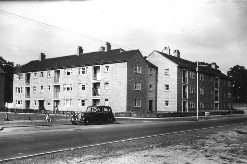
1. Baldinnie Road, 1959
Flats at Baldinnie Road, Easterhouse pictured not long after they were built in 1959 by the Glasgow Corporation. | Contributed
2. Duntarvie Quadrant, 1959
Corporation flats at Duntarvie Quadrant, Easterhouse, pictured in 1959.. | Contributed

3. Carriden Place, 1958
A milestone in Glasgow's housing history was reached in 1958 when a three-apartment flat, one up left, in Carriden Place was designated the 100,000 houses to be built by the Corporation since 1919. | Virtual Mitchell

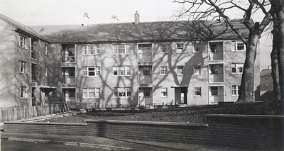
4. Newhills Road
Two-story flats for older folks in the Wellhouse area of Easterhouse. | Contributed